Incident reporting
Please report any incidents or accidents as this is important to help keep the Central Oregon flying sites safe.
Fill out report here These reports are only seen by DAR officers and will not be shared publicly without your permission. USHPA reporting and access to other saftey information can be found here.
Have suggestion or concerns for DAR? We are always trying to improve and your voice helps, share here.
The Desert Air Riders club recommends joining the local helicopter rescue membership programs
- AirLink/AirMedCare ($85/year) https://www.amcnrep.com/
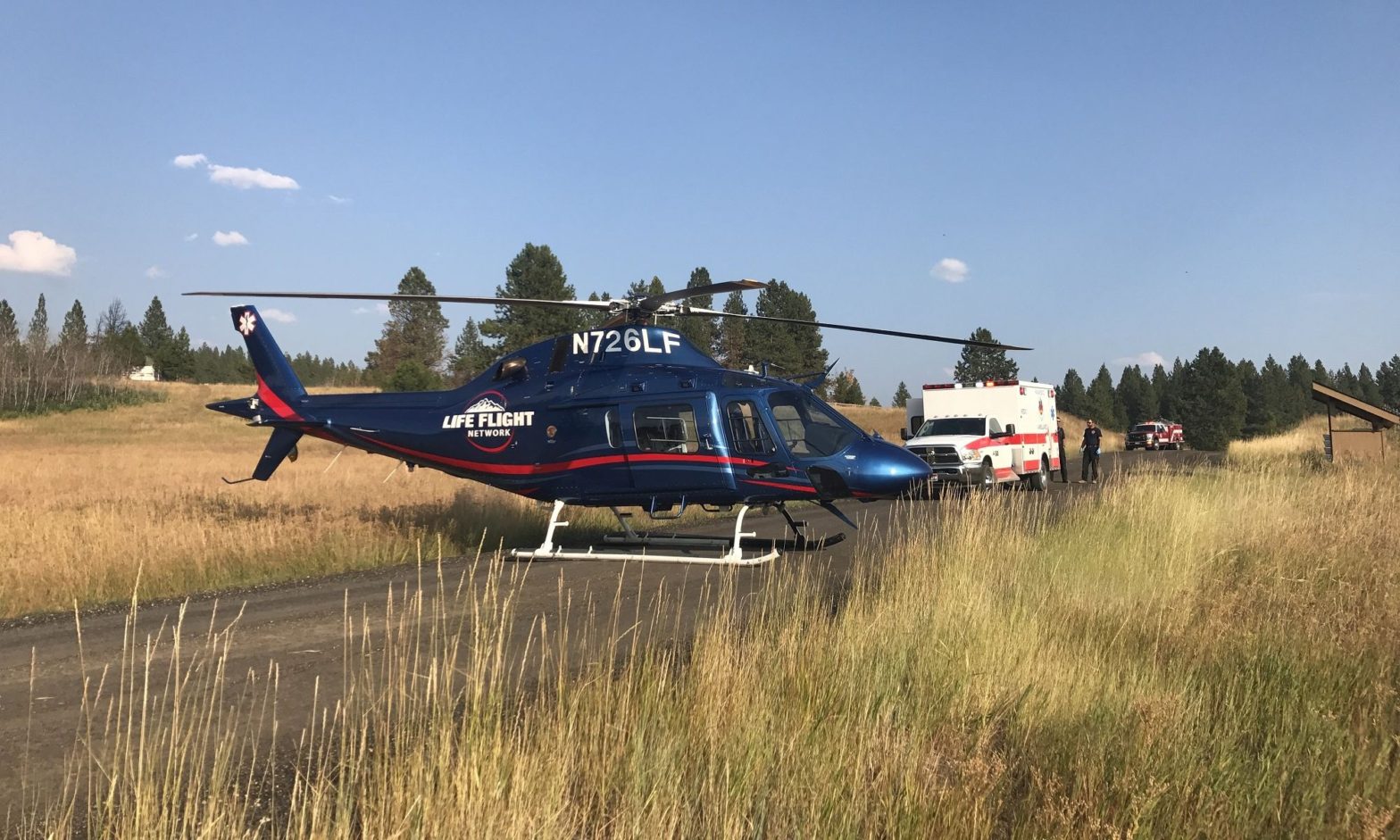
- Life Flight ($75/year) https://member.lifeflight.org/
Useful GPS coordinates for locations on or near Pine Mountain
| Location | Latitude | Longitude | Google Maps |
|---|---|---|---|
| Millican | 43.87917 | -120.91889 | Open map of Millican |
| Pine Mtn Observatory | 43.79159 | -120.941218 | Open map of Pine Mtn Observatory |
| Rock L (Training Hill) | 43.83737 | -120.930418 | Open map of Rock L |
| Southeast Bowl | 43.78599 | -120.891251 | Open map of Southeast Bowl |
| The T | 43.84836 | -120.922256 | Open map of The T |
| The Y | 43.84419 | -120.910495 | Open map of The Y |
| West Launch | 43.81976 | -120.93258 | Open map of West Launch |
Open Google Map showing all locations
History of locations of helicopter rescues of paraglider pilots at Pine Mountain
| Year | Location |
|---|---|
| 1993 | Southeast Bowl |
| 1998 | West Launch |
| 2003 | Behind Training Hill |
| 2014 | West Launch |
| 2015 | Rock L |
| 2018 | Rock L |